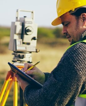
Land Surveying
Land surveying involves measuring and mapping the physical features and boundaries of land
Read More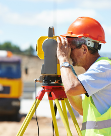
Construction Surveying
Supports construction projects by providing accurate measurements and layout guidance
Read More
Geodetic Surveying
Focuses on large-scale measurements considering the Earth’s shape and curvature
Read More
Hydrographic Surveying
Involves mapping water bodies and their features for navigation and development.
Read More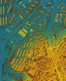
Mapping and GIS Services
Create detailed maps and manage spatial data for various applications
Read More
3D Laser Scanning and Modeling
Advanced techniques for capturing and representing physical spaces in three dimensions
Read More
Property and Land Development Services
Provide essential support for landowners and developers
Read More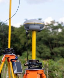
Environmental Surveys
Assess land and water resources for conservation and development projects
Read More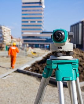
Utilities and Infrastructure Surveys
Support the design, construction, and maintenance of utility networks and infrastructure.
Read More