
Legal and Title Surveys
Service Type Surveying Services Legal and Title Surveys Offer services that address legal and property ownership issues. Easement Surveys: Identify areas where others have a…..
Utilities and Infrastructure Surveys
Service Type Surveying Services Utilities and Infrastructure Surveys Support the design, construction, and maintenance of utility networks and infrastructure. Underground Utility Mapping: Locate and map…..
Environmental Surveys
Service Type Surveying Services Environmental Surveys Assess land and water resources for conservation and development projects Floodplain Mapping: Identify areas prone to flooding for disaster…..

Property and Land Development Services
Service Type Surveying Services Property and Land Development Services Provide essential support for landowners and developers. Land Parceling and Subdivision: Divide properties into manageable plots…..

3D Laser Scanning and Modeling
Service Type Surveying Services 3D Laser Scanning and Modeling Advanced techniques for capturing and representing physical spaces in three dimensions Point Cloud Generation: Use laser…..
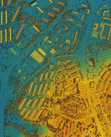
Mapping and GIS Services
Service Type Surveying Services Mapping and GIS Services Create detailed maps and manage spatial data for various applications. Digital Mapping: Produce high-resolution maps using satellite…..
Hydrographic Surveying
Service Type Surveying Services Hydrographic Surveying Involves mapping water bodies and their features for navigation and development. Water Depth Measurements: Use sonar or echo sounders…..
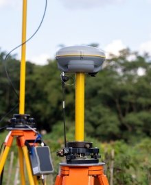
Geodetic Surveying
Service Type Surveying Services Geodetic Surveying Focuses on large-scale measurements considering the Earth’s shape and curvature. GPS Surveys: Use satellite systems to determine accurate coordinates…..

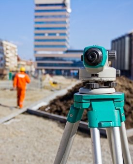
Construction Surveying
Service Type Surveying Services Construction Surveying Supports construction projects by providing accurate measurements and layout guidance. Site Layout: Mark the locations of buildings, roads, and…..

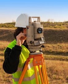
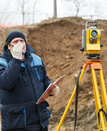
Land Surveying
Catagory Surveying Services Land Surveying Land surveying involves measuring and mapping the physical features and boundaries of land. Boundary Surveys: Establish the legal boundaries of…..